
Affiliate disclosure: TX:GX may earn a commission from qualifying purchases made through links in this article, at no extra cost to you.
Texas fall color does not arrive on one tidy weekend. It rolls across the state in pockets—maples in the Hill Country, hardwoods around East Texas lakes, and canyon color farther west. Check current park reports, keep the route flexible, and treat the forecast as a clue rather than a promise.
Five Texas fall-color trips worth planning
1. Lost Maples State Natural Area
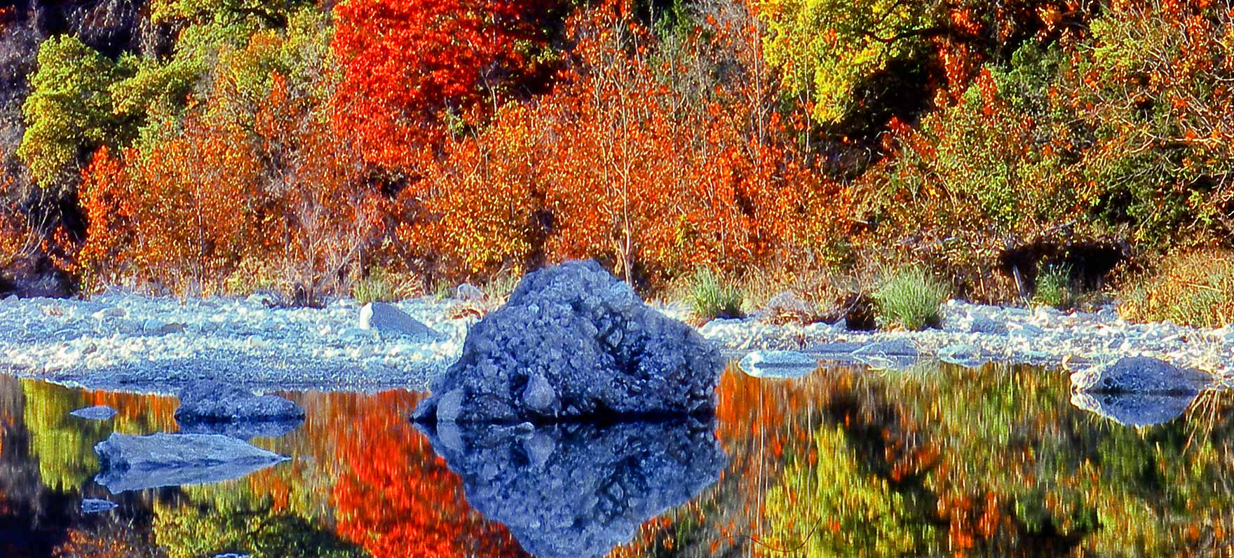
Best for: the most concentrated classic fall color in Texas. Bigtooth maples get the headlines, but the canyon also delivers oak, sycamore, and a good reason to hike beyond the parking lot. Reservations tighten quickly on peak weekends, so verify conditions and entry availability with Texas Parks and Wildlife.
2. Daingerfield State Park
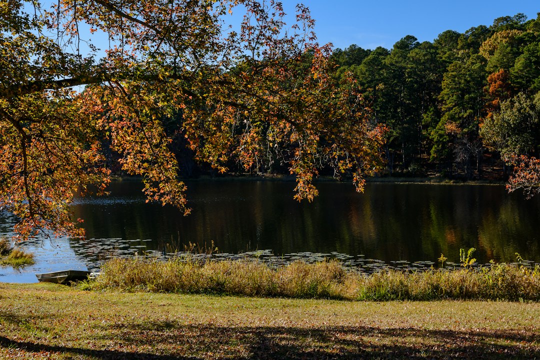
Best for: an easy East Texas weekend with lake reflections, short hikes, and camping that does not require a technical vehicle build. The Rustling Leaves Trail makes a compact color loop. Check the official park page for reservations and notices.
3. Garner State Park

Best for: pairing Hill Country color with a Frio River camp. Bald cypress can turn copper and orange, while higher trails add broad canyon views. It is a strong option from Austin or San Antonio, but conditions vary. Confirm access on the official park page.
4. Caprock Canyons State Park
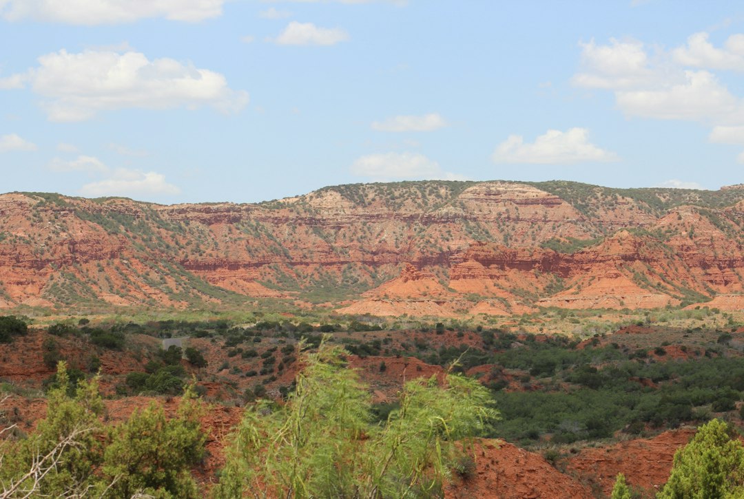
Best for: a fall road trip where red-rock scenery matters as much as leaves. Cottonwoods and pockets of color sharpen the canyon palette, while the Texas State Bison Herd adds its own reason to slow down. Review camping and trail details at Texas Parks and Wildlife.
5. Guadalupe Mountains National Park
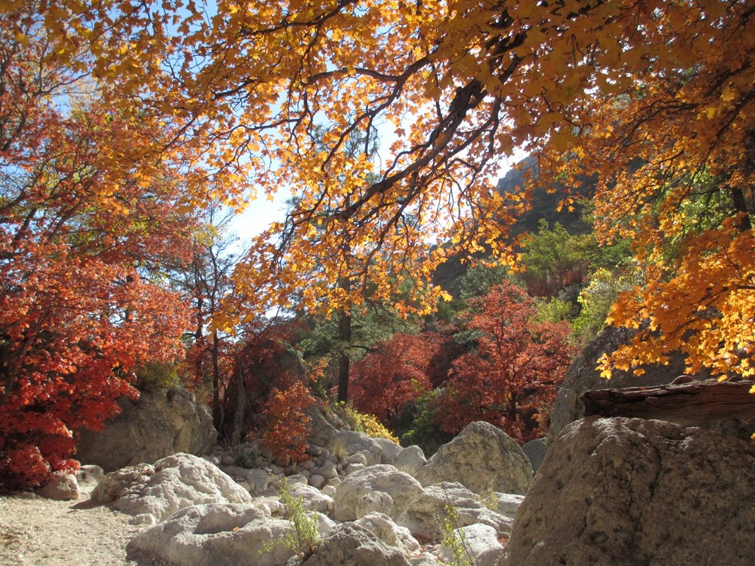
Best for: the most dramatic hiking-centered trip on this list. McKittrick Canyon is the famous draw, but the National Park Service also points visitors to Devil’s Hall and Smith Spring for shorter looks at seasonal color. Plan for trail time, limited parking, and a backup day. Start with the official NPS guidance.
Plan the route, not just the destination
For a statewide paper reference, the Texas DeLorme Atlas & Gazetteer remains useful when cell coverage gets thin or a county-road detour looks more interesting than the highway. TX:GX also maintains a Texas fall-color planning map for comparing destinations.
Before you leave
- Check the park’s same-week condition report and reservation status.
- Build a second destination or scenic route into the plan.
- Download offline maps before leaving reliable service.
- Pack for short days, cold mornings, and muddy trails after rain.
- Leave room for the roadside color you did not plan for.
Evidence note: Park access and trail guidance are linked to official sources. Seasonal timing is inherently variable and should be rechecked immediately before publication and travel.